The White River in Washington State represents one of the most remarkable examples of river engineering and flood control in the Pacific Northwest. Flowing from the slopes of Mount Rainier through King and Pierce counties, this glacier-fed waterway has challenged engineers and communities for over a century, spurring innovative solutions that transformed how the region manages water resources and protects development.
Historical Context and Early Challenges
The White River earned its name from the glacial rock flour suspended in its water, giving it a distinctive milky appearance. Throughout the late 1800s and early 1900s, the river created persistent problems for local farmers and residents through unpredictable flooding and channel changes.
The most dramatic incident occurred in 1906 when the White River permanently changed course, breaking through to the Stuck River channel and flowing southward instead of its traditional northwestern route toward Elliott Bay. This natural diversion resulted from massive logjams south of Auburn that pushed the river into new territory, effectively settling a long-standing dispute between King and Pierce counties over water rights and flood control responsibilities.
By 1913, both counties reached an agreement where Pierce County would retain the White River while King County would contribute 60 percent of flood control costs. This partnership marked the beginning of coordinated engineering efforts to tame the unpredictable waterway.
Auburn Diversion Infrastructure
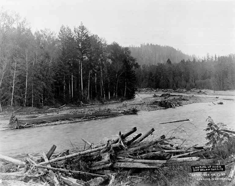
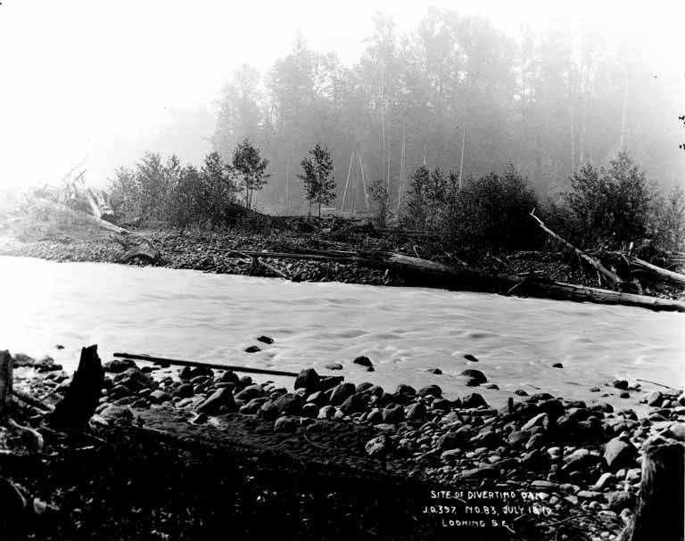
Within a year of the 1913 agreement, construction commenced on critical flood control infrastructure southwest of Auburn. The project included a 1,600-foot diversion dam and an elaborate 2,000-foot drift barrier composed of 30 heavy concrete piers connected by ten wire cables spaced one foot apart. This drift barrier was designed specifically to prevent driftwood accumulation and logjams that had historically caused channel blockages and flooding events.
Engineers also built levees along vulnerable sections, dredged the channel to increase flow capacity, and reinforced stream banks to prevent erosion. Despite these extensive modifications costing over $3 million, another major flood overwhelmed the valley in 1933, demonstrating that county-level engineering efforts were insufficient to control the powerful river. This failure prompted federal intervention and led to one of the most ambitious dam projects in American history.
Mud Mountain Dam Construction
After the 1933 flood exposed the limitations of existing infrastructure, the War Department authorized construction of a major flood control dam seven miles southeast of Enumclaw in a box canyon section of the White River. Congress approved Mud Mountain Dam through the Flood Control Act of June 22, 1936, and the U.S. Army Corps of Engineers began work on August 25, 1939.
The Corps selected an earthfill design utilizing locally available materials including rock, sand, and gravel. More than 500 workers operated in three shifts at the construction site, which required extensive clearing for access roads and a work camp. World War II halted progress in 1941, but construction resumed in 1947 with renewed urgency. When completed in 1948, Mud Mountain Dam stood as the highest rock and earth-filled dam in the world at that time.
Engineering Specifications and Design
Mud Mountain Dam showcases impressive engineering specifications that reflect mid-20th century construction capabilities. The structure rises 432 feet high with a base stretching 1,600 feet thick, incorporating approximately 2.3 million cubic yards of sand, rock, and gravel. A three-foot layer of quarry rock covers the entire exterior surface to protect against rain erosion and weathering.
The dam functions primarily for flood control rather than water storage or hydroelectric generation. Its reservoir captures excess water from heavy rains and snowmelt, then releases it gradually downstream at manageable rates. Although water has never spilled over the top of the dam, engineers added an extra nine feet of height in 1991 to enhance safety margins. Fishway facilities were completed in Buckley in 1949 to allow salmon passage, addressing environmental concerns that accompanied the massive infrastructure project.
Modern Maintenance and Fish Passage
Engineering work on the White River system continues into the present day. In February 2018, the U.S. Army Corps of Engineers lowered river flows from Mud Mountain Dam to facilitate repairs on the White River Diversion Dam near Buckley. Flows decreased from approximately 2,000 cubic feet per second to just 350 cubic feet per second, and workers diverted the river to the south side of the structure to ensure worker safety during repairs.
The Corps has worked collaboratively with Cascade Water Alliance, which owns the diversion dam originally built in 1912, to maintain operational capacity while planning long-term solutions. These plans include constructing a new fish passage facility with a barrier structure to replace the aging diversion dam, reflecting contemporary priorities balancing water management with environmental stewardship and salmon protection.
Regional Impact and Legacy
The engineering achievements along the White River have generated substantial economic and safety benefits for the region. Mud Mountain Dam currently helps protect approximately 400,000 residents in the lower White and Puyallup River valleys, preventing flooding that once occurred almost annually. As of 2000, the dam had prevented an estimated $300 to $694 million in flood damages, far exceeding its original construction cost.
These engineering feats transformed the Puyallup Valley from flood-prone farmland into stable ground suitable for residential and commercial development. The coordinated infrastructure of dams, levees, drift barriers, and channel improvements established a model for regional flood control cooperation that continues to guide water resource management throughout the Pacific Northwest.
The White River diversion system and Mud Mountain Dam demonstrate how persistent engineering challenges can drive innovative solutions that reshape entire regions. From early concrete pier drift barriers to the world-record earthfill dam, these projects reflect evolving technical capabilities and changing priorities from simple flood prevention to comprehensive watershed management that balances human needs with environmental protection.